by Azores Getaways Team
August 2026 • 7 min read
Corvo has two official hiking trails, both part of the Azores Regional Network of Pedestrian Trails and both signposted. One circles the inner rim of the Caldeirão crater. The other crosses the island from north to south, ending at the village beach. Between them, they cover most of what Corvo has to show on foot.
This guide covers both trails with practical detail, plus options for descending into the caldera crater and walking routes that don't require a signed trail.
Before You Hike
⚠️ PRACTICAL NOTES
- Footwear: Hiking boots or sturdy trail shoes are necessary on both routes. The Caldeirão trail is often wet and can be slippery in sections, particularly around the peat bogs and crater floor.
- Weather: Check conditions before you start. The Caldeirão rim sits above 400 meters and is frequently in low cloud, reducing visibility to a few meters. On a cloudy day, the view into the crater disappears entirely. The hike in clear weather and the same hike in mist are two different experiences.
- Water and sun protection: Carry at least one liter of water per person. There is no shade on the exposed rim sections.
- Best months: May through September offers the most stable conditions. October is hikeable but expect more rain and cloud on the caldera.
- Getting to the trailhead: Both official trails begin near the Caldeirão viewpoint. From Vila do Corvo, this is a steady 4 to 5 kilometer uphill road walk, or a van transfer arranged through your accommodation (~€5 per person).
Trail 1: PRC02 COR – Caldeirão (Circular)
This is the trail most people come to Corvo for. It begins at the Caldeirão viewpoint, where the first sight of the crater stops most visitors before they've taken another step: a collapsed volcanic caldera roughly 3.7 kilometers across and 300 meters deep, with two crater lakes and a cluster of small islets on the floor that local tradition holds represent the nine islands of the Azores.
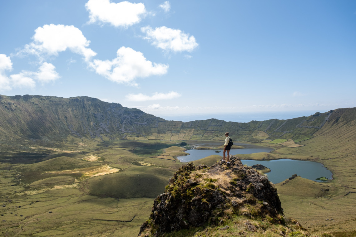
The trail descends from the viewpoint into the interior of the crater, following a signposted path along the inner rim. The terrain here is dominated by Sphagnum moss and peat bogs that give the caldera floor its intense green color. In wet conditions, sections of the path can be submerged. The crater lakes fluctuate in level throughout the year.
At a stone marker partway around, the path branches. Taking the right fork leads you counterclockwise around the caldera interior. Smaller marker poles guide the route through the wetland sections. The far end of the crater brings you past Poço da Velha, an old peat feature, before the ascent back toward the viewpoint.
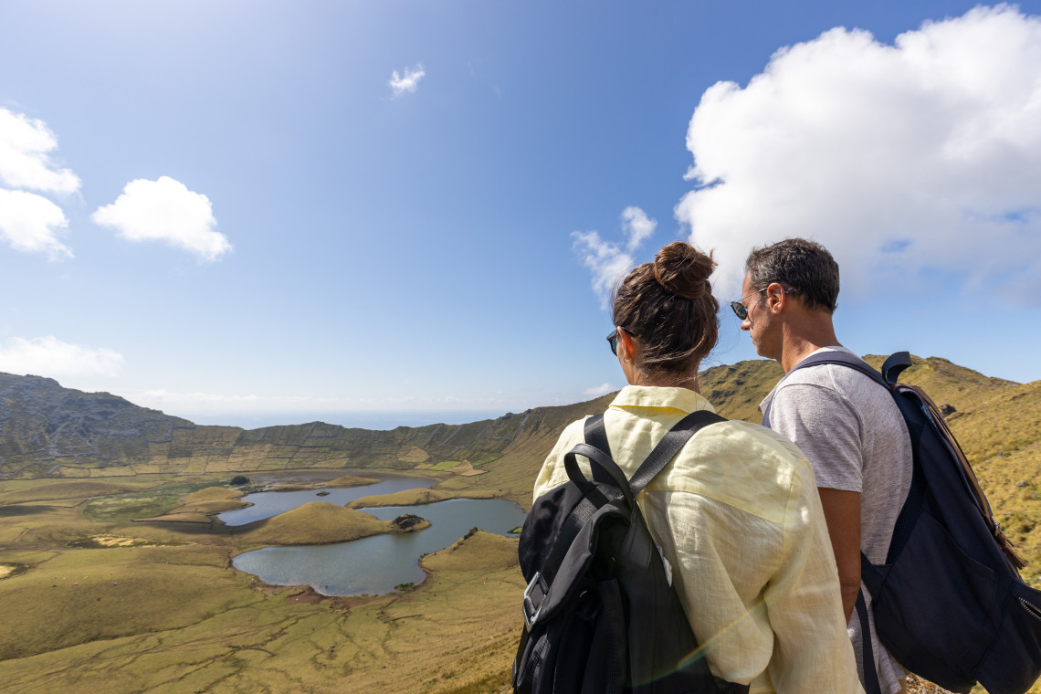
The circular route takes around 2h30 at a relaxed pace. It is classified as moderate because of the terrain conditions and the exposed sections on the rim, not because of significant elevation gain. Allow extra time if you plan to stop frequently, which most people do.
Trail 2: PR01 COR – Cara do Índio (Linear)
PR01 COR crosses Corvo from north to south, starting near the Caldeirão and ending at the black sand beach at Areia. It is the longer of the two official trails and passes through the full range of the island's terrain: high caldera approaches, open pastureland, Azorean heather and juniper scrub, coastal cliffs, and the outskirts of Vila do Corvo.
The route begins on the regional road heading south from the Caldeirão area, then drops onto dirt paths through the Baldio zone, characterized by dry stone walls and open land without cultivated fields. The trail circles around a volcanic cone open to the south at the Coroínha and Pingas cliff geosite, where views extend to Flores Island on clear days.
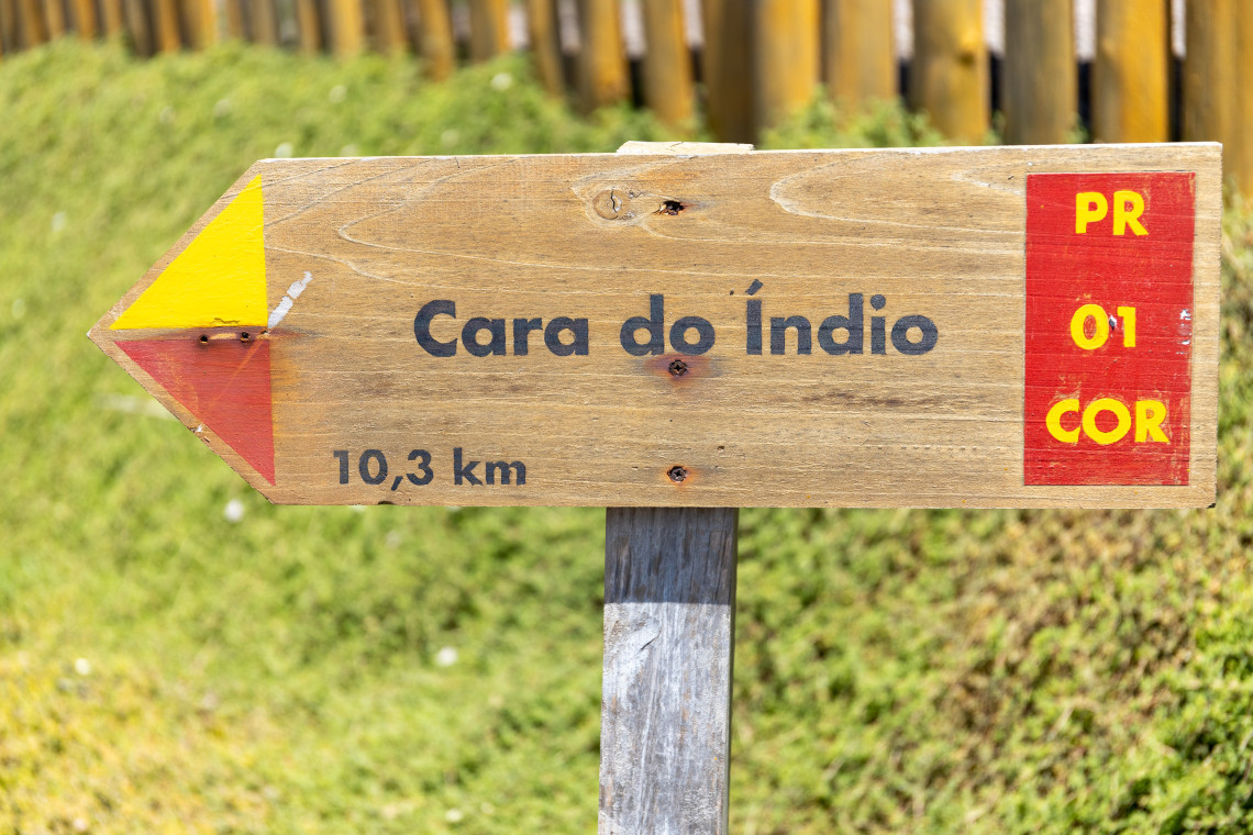
Near the southern cliff section, a basalt rock formation is visible that resembles a human face in profile, giving the trail its name: Cara do Índio ("Indian Face"). The formation is best viewed from a specific angle on the approach.
The descent continues through old rock shelters and past endemic vegetation. The final section reaches a viewpoint over Vila do Corvo before dropping into the village's historical core. The trail ends at Praia da Areia, the small black sand beach below the windmill area.
Return logistics: This is a linear trail, so you cannot loop back to the starting point. Options are: arrange a van pickup at Areia, walk back through the village (shorter than the trail route), or combine with the PRC02 COR loop in the morning and do PR01 COR in the afternoon. A full day covers both.
Descending into the Caldeirão
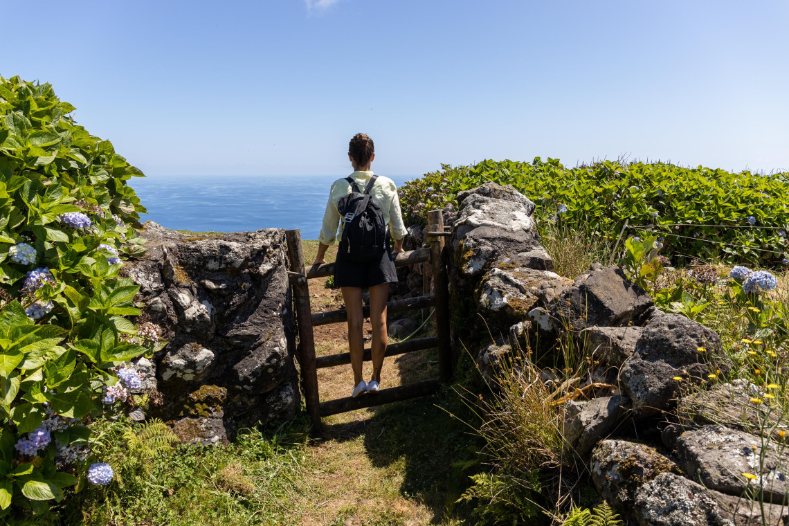
The PRC02 COR trail loops around the inner rim of the caldera but does not descend all the way to the crater floor. A longer descent to the floor is possible on foot, and worth doing if you want to see the peat bogs, the crater lakes, and the small islets up close rather than from above.
The descent takes around 45 minutes from the rim and significantly more to return. The terrain off the marked trail is uneven and the ground is frequently wet. A local guide is recommended for the crater floor descent and can be arranged through accommodation or local operators in Vila do Corvo.
The reward is a perspective the viewpoint cannot provide. At crater floor level, the caldera walls rise on all sides and the scale of the formation becomes physical rather than visual.
Walking Without a Signed Trail
From the village to the Caldeirão viewpoint: The road from Vila do Corvo to the caldera viewpoint is 4 to 5 kilometers of steady uphill, gaining roughly 400 meters of elevation. It takes around 1h30 to 2 hours on foot. Many day-trippers take the van transfer up and walk back down, which is easier and still covers most of the road-accessible landscape.
The village on foot: Vila do Corvo takes ten minutes to walk end to end. The cobbled streets, the harbor, the windmill area near Areia, and the church are all within a compact area. The harbor walk in the early morning, when fishing activity is underway, is worth the time regardless of hiking plans.
Coastal sections: The rocky coastline south and east of the village can be explored on foot without a marked trail. The terrain is uneven and requires care, but the basalt formations and the views back toward the village and the caldera above are distinctive. There is no formal coastal path; treat these as informal walks rather than established routes.
Visit Corvo with Logistics Sorted
The ferry schedule, the van transfers to the trailhead, and the weather window all need to line up for a good hiking day on Corvo. Our local team builds the itinerary around the crossings and the conditions.