by Azores Getaways Team
21 September 2026 • 10 min read
São Miguel has more maintained hiking trails than any other island in the Azores. The terrain ranges from flat lakeside circuits to ridge walks on the rim of volcanic calderas. Most trails are free, well-signed, and accessible without a guide.
Below are the ten trails most worth planning around, with difficulty, distance, duration, and booking links for guided versions where available.
1. Sanguinho Trail (Salto do Prego)
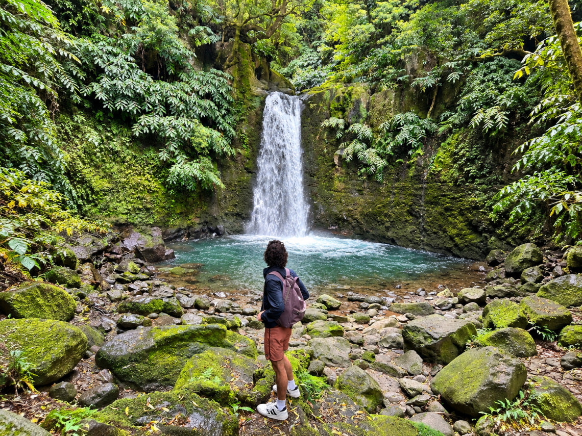
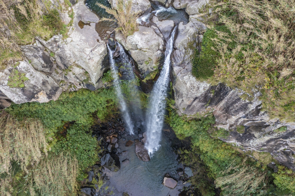
Located in Faial da Terra in the northeast of the island, this trail winds through native laurisilva forest to the restored village of Sanguinho before descending to Salto do Prego waterfall. The forest section is one of the densest on the island and the waterfall at the end is a legitimate destination in itself.
The route requires a shuttle or two cars, as the trailheads are at different points. A local operator handles the logistics if you book a guided version.
- Category: Linear
- Difficulty: Medium
- Distance: 4.5 km / 2.8 mi
- Duration: ~2h
Book guided Salto do Prego hike
2. Lagoa do Fogo Trail
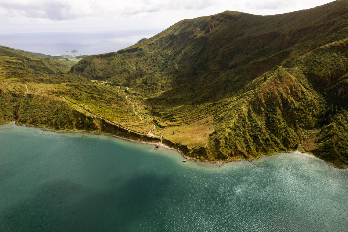
The most rewarding hike on the island by most measures. The trail descends from the crater rim into the caldera to reach Lagoa do Fogo, a protected lake with no road access. The caldera walls and lake are clear on a good day; cloud often covers them by midday, making early starts worth the effort.
The main route starts near Água D'Alto on the south coast and ascends through increasingly open terrain before dropping into the crater.
- Category: Linear
- Difficulty: Medium/Hard
- Distance: 11 km / 6.8 mi
- Duration: ~4h30
Book guided Lagoa do Fogo hike
ALL GUIDED HIKES IN SÃO MIGUEL
Browse all bookable guided hiking and walking tours in São Miguel, from half-day walks to full-day trail routes with transport included.
Browse Hiking Tours →3. Lagoa das Furnas Trail
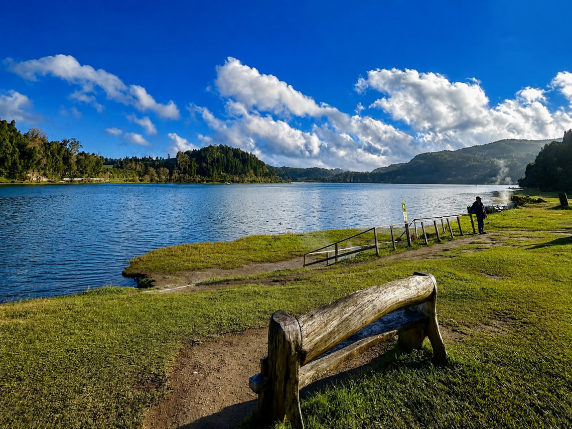
A flat circuit around Furnas Lake. The path is easy and suitable for all fitness levels. Along the route, you pass wooden sculptures, picnic areas, and viewpoints over the lake. The main highlight is the caldeiras section: volcanic vents along the lakeshore where you can watch pots of Cozido das Furnas being cooked underground.
The trail connects to other nearby routes including Grená and Pico do Ferro.
- Category: Circular
- Difficulty: Easy
- Distance: 9.5 km / 5.9 mi
- Duration: ~3h
4. Poço Azul Trail
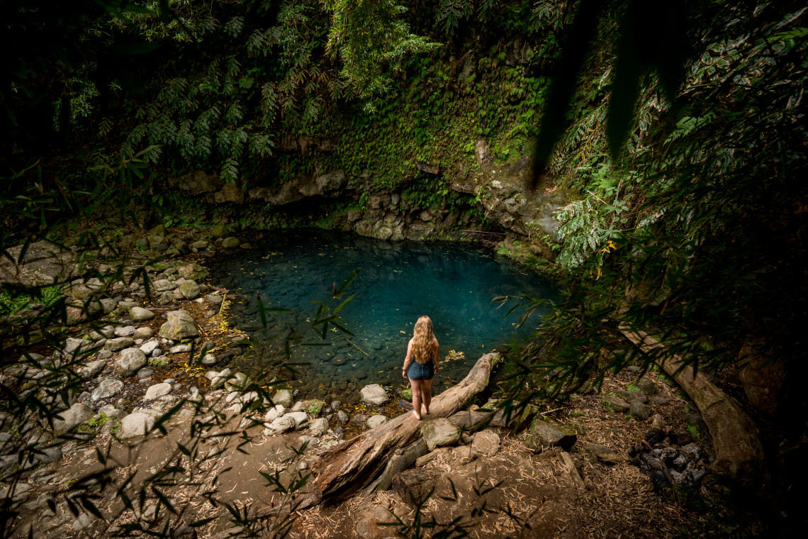
A short trail in Nordeste leading to Poço Azul, a natural pool in the northeast of the island. The northeast receives fewer visitors than the west and east ends of São Miguel, and the pool itself is one of the more visually striking natural features on the island. A good option for a half-day if you are already in the Nordeste area.
- Category: Circular
- Difficulty: Easy
- Distance: 1.3 km / 0.8 mi
- Duration: ~1h
5. Lagoa do Congro Trail
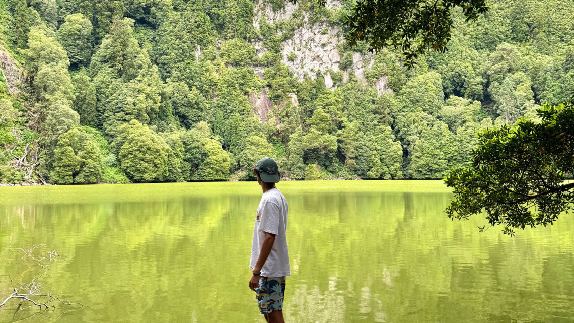
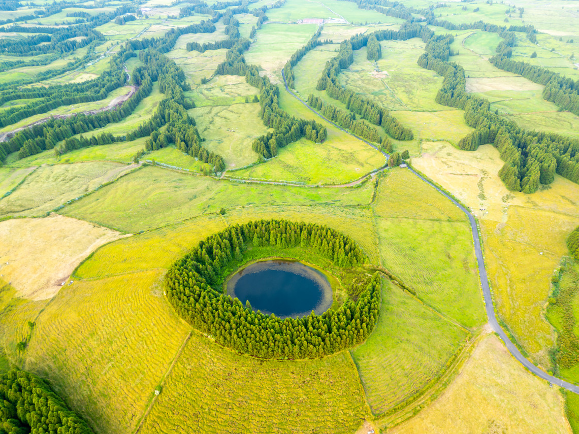
A short out-and-back trail through shaded forest to a hidden volcanic crater lake in the southeast of the island. The lake is still, surrounded by dense vegetation, and sees relatively few visitors compared to the main sites. It is a good option to combine with a Furnas visit.
- Category: Linear
- Difficulty: Easy
- Distance: 1.4 km / 0.87 mi
- Duration: ~1h
6. Cumeeiras Trail (Sete Cidades)
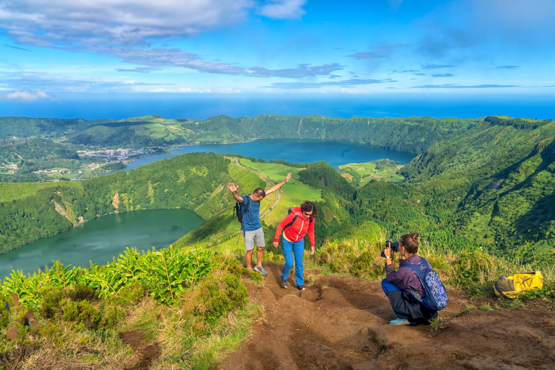
The best ridge walk on São Miguel, following the rim of the Sete Cidades volcanic caldera with views down over Lagoa Azul and Lagoa Verde. The path changes character as you move around the caldera: from coastal cliff edges to open pastoral ridge to forested descent. The full version combines the Cumeeira Grande and Cumeeira Pequena sections.
Cloud behaviour at Sete Cidades is the main variable. The caldera is frequently in cloud by late morning, particularly in summer. Earlier starts and autumn or spring visits give better odds of clear views.
- Category: Circular
- Difficulty: Medium
- Distance: 7.5 km / 4.66 mi
- Duration: ~3h
Book guided Boca do Inferno hike at Sete Cidades
7. Gorreana Tea Plantation Trail
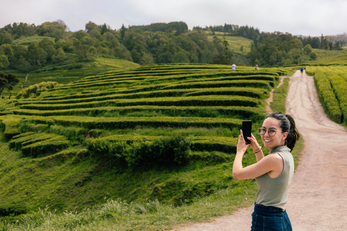
A relaxed walk through the tea terraces of Gorreana, the oldest working tea plantation in Europe. The route is short, easy, and combines well with a visit to the factory and tasting room. Atlantic views from the upper sections of the plantation are good on a clear day. The trail is accessible without booking.
- Category: Circular
- Difficulty: Easy
- Distance: 3.4 km / 2.11 mi
- Duration: ~1h15
Book guided Gorreana hiking experience
SÃO MIGUEL VACATION PACKAGES
Packages with flights, hotel, and rental car. A rental car is the most practical way to reach trailheads across the island.
See São Miguel Packages →8. Pico da Vara Trail
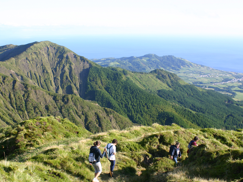
The highest point on São Miguel at 1,103 metres. The trail is located in the northeast, within the São Miguel Natural Park, and is the primary habitat of the Azores Bullfinch (Priolo), one of the rarest birds in the world with a range restricted to this section of laurisilva forest. The route is demanding: dense vegetation, steep sections, and summit conditions that require checking before you go.
- Category: Linear
- Difficulty: Hard
- Distance: 7 km / 4.3 mi
- Duration: ~3h30
9. Serra Devassa Trail
A circular trail in the Sete Cidades volcanic massif, passing small crater lakes including Lagoa das Éguas and Lagoa Rasa. Less-visited than the main Cumeeiras route, it gives a quieter version of the volcanic landscape with ridge viewpoints over the island's interior. A good alternative for a second day in the Sete Cidades area.
- Category: Circular
- Difficulty: Medium
- Distance: 5 km / 3.1 mi
- Duration: ~2h
Book a Serra Devassa Trail here
10. Grená Park Trail
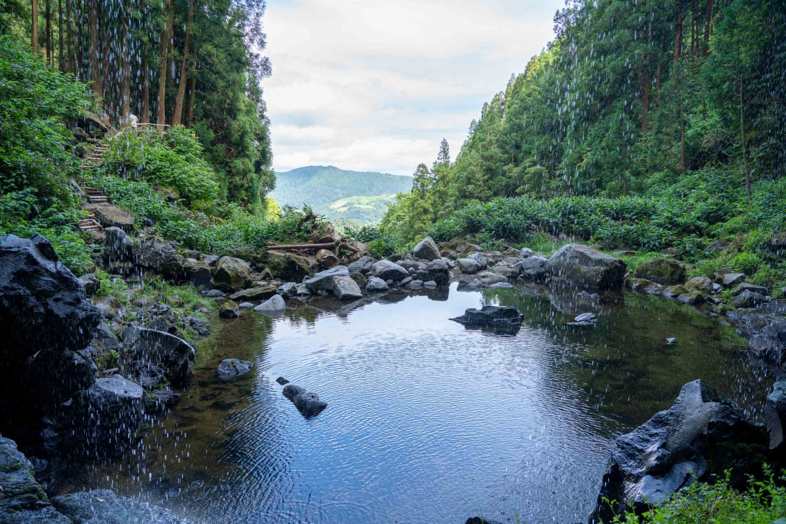
Located near Furnas, Grená is a nature park with an entrance fee. The trail follows a route beside the tallest waterfall on São Miguel, with stairs and handrails on the steeper sections. At the top, views extend over Furnas Lake. The park also contains old ruins and ancient trees. A good option to combine with a Furnas village visit.
- Category: Circular
- Difficulty: Medium
- Distance: 3.5 km / 2.1 mi
- Duration: ~1h30
Other Trails Worth Knowing
Salto do Cabrito near Ribeira Grande is a short circuit ending at a waterfall with geothermal scenery along the approach. Medium difficulty, 4 km, roughly 2 hours.
Book guided Salto do Cabrito hike

Moinho do Félix in Lomba de São Pedro combines waterfalls, ocean views, and a traditional windmill. Medium difficulty, 5.5 km, roughly 2 hours.
Book a moinho do félix walking tour here!
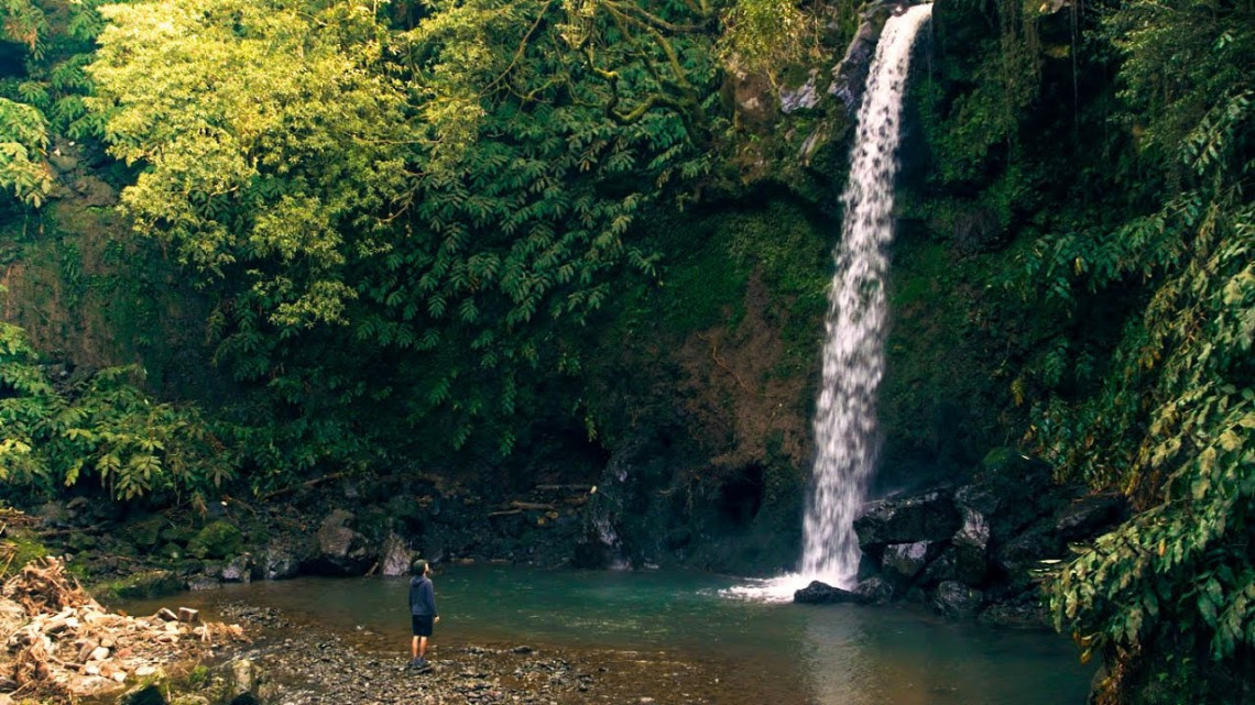
Quatro Fábricas da Luz in Água de Alto follows an old hydroelectric route through riverbanks and forest. Easy, 2.1 km, roughly 1h30.
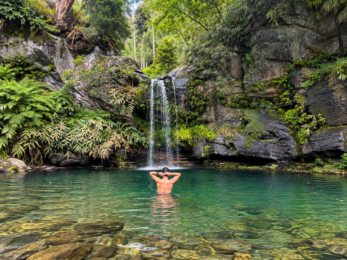
Salto da Farinha in Achadinha is a coastal path through forested cliffs to a waterfall with panoramic ocean views. Medium difficulty, 4.5 km, roughly 1h30.
PLAN YOUR HIKING ITINERARY
A local advisor can build a São Miguel itinerary that fits the right trails into your available days, including transport, hotels, and other activities.
Plan a Custom Trip →Keep Reading
Activities
Best Tours & What to Do in São Miguel Island
Guide
Best Viewpoints in São Miguel Island
Destination
Furnas Village: The Thermal Hot Spot of São Miguel
FAQ
What are the best hiking trails in São Miguel?
Lagoa do Fogo is the most rewarding for scenery: a full descent into a volcanic caldera with no road access. Cumeeiras is the best ridge walk, following the rim of Sete Cidades with views over the twin lakes. For shorter routes, Sanguinho to Salto do Prego (northeast forest and waterfall) and Gorreana (tea terraces) are both worth the time.
Are the trails suitable for all fitness levels?
The island has easy, medium, and hard options. Easy trails like Poço Azul (1.3 km), Lagoa do Congro (1.4 km), and Gorreana (3.4 km) are accessible for most people. Lagoa do Fogo (11 km) and Pico da Vara (7 km with significant elevation) require reasonable fitness. Most visitors find the medium-difficulty trails manageable.
Do I need a guide to hike in São Miguel?
No. Most trails are free, open access, and well-signed. A guide adds value on routes like Pico da Vara, where the forest paths are less obvious, and Sanguinho, which requires a shuttle between trailheads. For bookable guided hikes, see the links in each trail section above.
What should I pack for a hike in São Miguel?
Waterproof layers are the most important item regardless of the forecast: conditions change quickly on the island and the crater rims receive more wind and cloud than the coast. Sturdy footwear with grip is needed for the volcanic terrain. Water is essential; most trails have no facilities.
When is the best time to hike in São Miguel?
Spring (April to June) and autumn (September to October) give the most stable conditions with lower tourist numbers. Summer is warm and busy, with more frequent cloud on the caldera rims by late morning. Winter is mild but wetter, with some trails muddy. Trails are open year-round.
Can I book guided hiking tours in São Miguel?
Yes. Guided hikes are bookable through Azores Getaways for the main trails: Lagoa do Fogo, Salto do Prego, Salto do Cabrito, Boca do Inferno at Sete Cidades, and Gorreana. The operator handles transport, so you do not need to arrange a shuttle or leave a car at each end.