by Azores Getaways Team
July 21, 2026 • 8 min read
Flores has four official marked trails plus a long-distance route, covering the island's most dramatic terrain: the central plateau with its crater lakes, the southwest coastal cliffs that run past Rocha dos Bordões toward Fajã Grande, the remote southern fajã of Lopo Vaz, and the north coast from Ponta Delgada. Whether you have a full day or an afternoon, there is a route that fits.
Trail conditions on Flores are genuine. The plateau above 500 meters is almost always wet, fog closes in quickly, and the paths can be slippery year-round.
Check the official trail status before you go, as closures do happen.
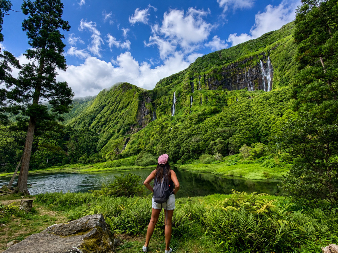
The Official Hiking Trails in Flores
PR03FLO: Miradouro das Lagoas - Poço do Bacalhau
The best hike on the island, and the one most worth planning a day around. PR03FLO starts at the crater lakes on the central plateau and descends west toward Fajã Grande, ending near Poço do Bacalhau, a 100-meter waterfall at the foot of a fossil cliff.
The trail begins at Lagoa Negra, the deepest lake in the entire Azores archipelago at 108 meters. It then passes through a sequence of explosion craters that have filled to form lakes: Lagoa Comprida, Lagoa Seca, and Lagoa Branca, all part of the Azores Geopark. The surrounding plateau is protected landscape, densely vegetated with endemic species including Azores Juniper (Juniperus brevifolia) and carpets of sphagnum moss.
The descent from the plateau to the coast is where the scenery shifts: the fossil cliff drops around 300 meters to the coastal fajã below, with several waterfalls feeding the ponds at the base. Poço do Bacalhau is the most dramatic of these, and reaching it on foot from above gives a different perspective than the road-level visit.
The trail is classified as Hard because of the altitude, exposure, and descent. Cloud and rain are common on the plateau even in summer. Starting early and checking the weather forecast is not optional here.
Distance: 7 km
Difficulty: Hard
Type: Linear
Time: ~3 hours
Download GPS: trails.visitazores.com
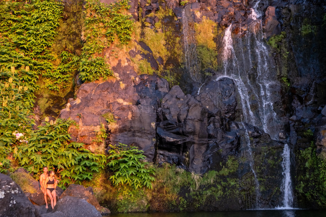
PR02FLO: Lajedo - Fajã Grande
The best option if you want a full coastal day without the altitude of PR03FLO. PR02FLO is a linear route along the southwest coast, starting in the village of Lajedo and running through the lavic fajãs of Fajãzinha and Fajã Grande. It is longer than PR03 but rated Medium rather than Hard.
The first section passes rocky outcrops on the southeast coast, including Cartário islet. The middle section goes through the village of Mosteiro, the smallest settlement on the island, from where you get some of the best ground-level perspectives of Rocha dos Bordões, the geological formation of basalt columns on the hillside above.
The final section is the visual payoff: the Portal viewpoint looks over Fajãzinha and Fajã Grande from above, with the fossil cliff behind them and sea to the west. The waterfalls descending the cliff here include both Poço do Bacalhau and Poço da Ribeira do Ferreiro, visible in the landscape below.
The villages along the route are among the most scenic on the island. Wet sections and slippery rocks are present throughout; appropriate footwear matters.
Distance: 13.2 km
Difficulty: Medium
Type: Linear
Time: ~3h 30min
Download GPS: trails.visitazores.com
Browse All Flores Packages
Flights, car rental, and hotels arranged before you land. All packages include time to actually hike the island, not just drive through it.
See all Flores packages →PRC04FLO: Fajã de Lopo Vaz
A short circular trail on the south coast, accessing one of the most isolated fajãs on the island. Fajã de Lopo Vaz sits at the base of a cliff more than 350 meters tall, facing south with enough solar exposure to support a microclimate that allows figs, bananas, and other subtropical fruits to grow.
The trail starts at a picnic area above the fajã and is the only access to this location. The staircase cut into the cliff face was built by the original settler, Lopo Vaz, one of the first people to inhabit the western part of the island. The area is part of the Azores Geopark and sits within a Special Protection Area for Cory's Shearwater, Common Tern, and Roseate Tern nesting.
It is listed as Circular but the descent and exploration of the fajã are the main event; you return via the same path. Caution is needed for falling rocks.
Distance: 3.4 km
Difficulty: Medium
Type: Circular
Time: ~2 hours
Download GPS: trails.visitazores.com
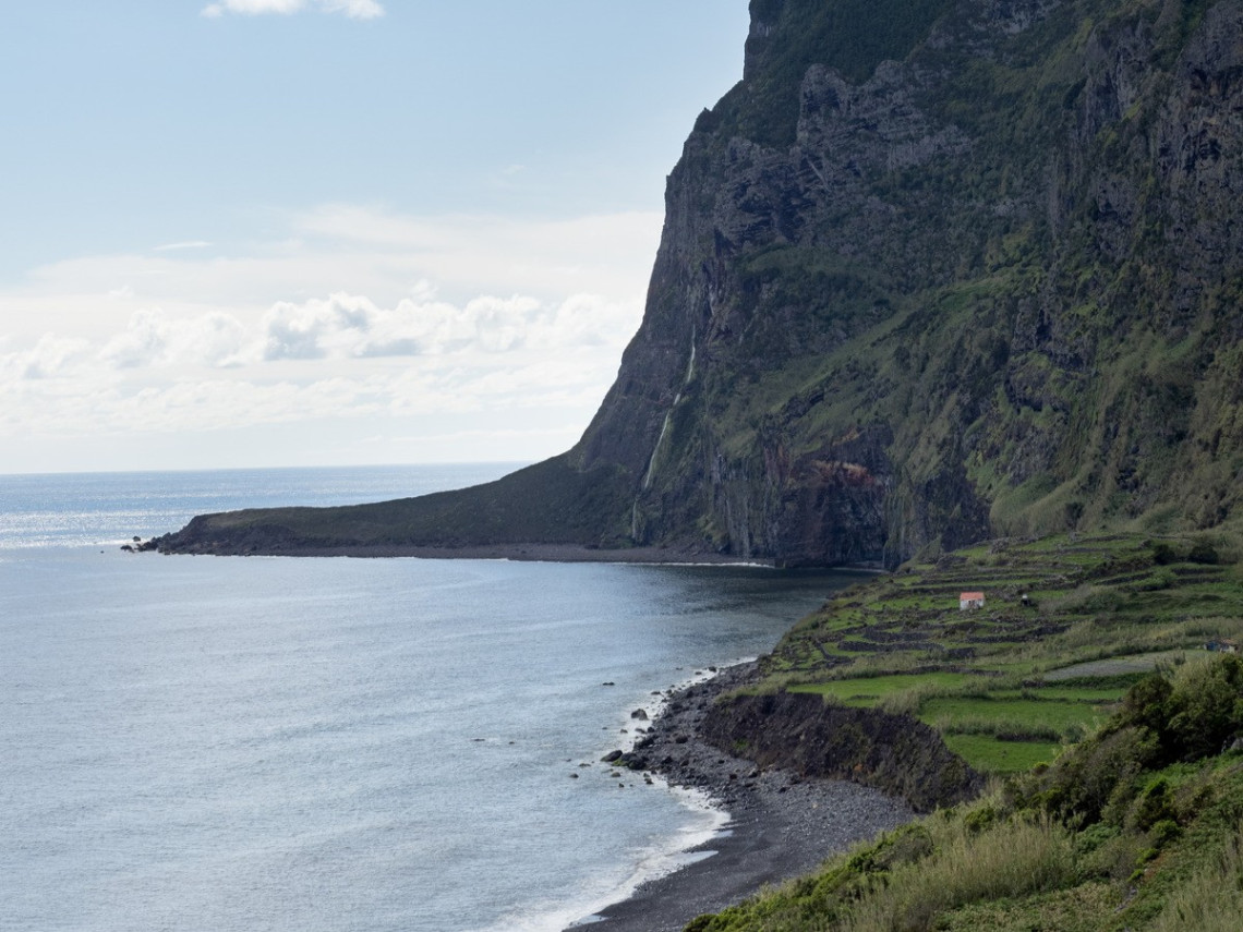
PR01FLO: Ponta Delgada - Fajã Grande (Currently Closed)
PR01FLO is the north coast route connecting Ponta Delgada to Fajã Grande along the northeastern coastline. The 12km trail passes the Albernaz lighthouse (built 1925), views of Corvo Island, the Monchique islet (the westernmost point of Europe, 1,500m offshore), Rocha do Risco, and ends near Fajã Grande via a section with coastal waterfall views.
This trail is currently closed. Check trails.visitazores.com for current status before planning around it.
Distance: 12 km
Difficulty: Hard
Type: Linear
Time: ~4h 30min
Status: CLOSED (verify before visit)
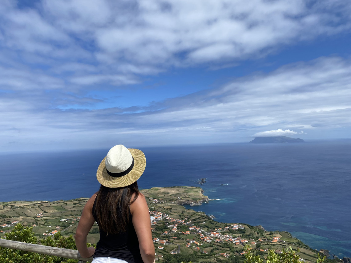
GR01FLO: Grande Rota das Flores
The island's long-distance route covers 47 km of coastline and interior, linking the main landscapes of Flores in a multi-day traverse. Stage 2 of the GR01FLO is currently closed. Not suitable as a day hike.
Distance: 47 km total
Difficulty: Medium overall
Status: Stage 2 closed
Corvo Island: Caldeirão Day Hike
A practical addition to any Flores hiking itinerary. Corvo is reachable by ferry from Santa Cruz das Flores in approximately one hour, and the main hike is the ascent from the village to the rim of the Caldeirão caldera. The caldera is roughly 2km wide; its floor contains two small lakes and farmland that has been continuously cultivated since the 16th century.
Book Your Boat Trip to Corvo
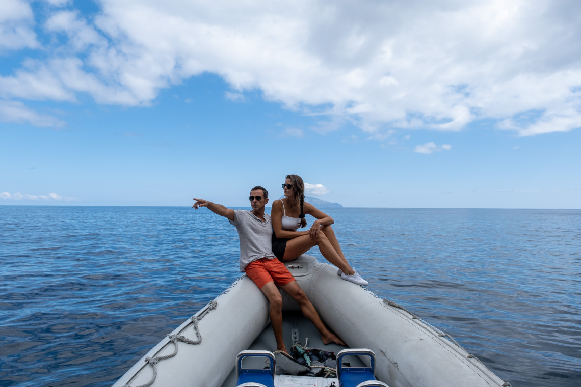
Some operators run boat tours from Flores to Corvo that include views of the sea caves and coastal cliffs along the way — a different experience from the standard ferry.
Book your boat trip to Corvo →The walk from the village to the rim takes around 25 to 35 minutes. The circuit around the rim is 3 to 4 kilometers, with views back toward Flores and out to the open Atlantic. A day trip from Flores fits comfortably within the ferry schedule in summer.
Practical Hiking Tips for Flores
Gear
Waterproof boots with ankle support are right for all four trails. The plateau routes (PR03FLO especially) require a waterproof jacket and mid-layer regardless of season. For PRC04FLO, trail runners are sufficient, but the descent requires care on slippery rock.
Weather
The plateau is frequently in cloud from mid-morning onward. Start PR03FLO early, ideally before 9am. July and August are most reliable for clear weather. June has good conditions with fewer visitors. September is worth considering. Winter and early spring are unpredictable and some trails may be closed or degraded.
Trail Maps and GPS
GPS tracks for all four trails are available free via the official Azores Trails site and the iTrails app. Download before you leave your accommodation; mobile signal in the interior is absent on most carriers.
Guided Hiking
Local operators on Flores run guided days for PR03FLO and canyoning routes. For visitors unfamiliar with the terrain, or hiking solo, a guide provides both navigation support and context. Ask at the tourist office in Santa Cruz das Flores or through your accommodation.
Getting to Trailheads
A rental car is essential for reaching trailheads. PR03FLO starts at the Lagoa Negra viewpoint on the interior road; PR02FLO starts in Lajedo on the southwest coast. For linear trails, coordinate transport to the endpoint or arrange a pickup. Local taxi services can be organized through accommodation.
Frequently Asked Questions
What are the official hiking trails in Flores Island? There are four official marked trails: PR01FLO (Ponta Delgada to Fajã Grande, 12km, currently closed), PR02FLO (Lajedo to Fajã Grande, 13.2km, Medium), PR03FLO (Miradouro das Lagoas to Poço do Bacalhau, 7km, Hard), and PRC04FLO (Fajã de Lopo Vaz, 3.4km, Medium). There is also GR01FLO, a 47km long-distance route with Stage 2 currently closed.
What is the best hiking trail in Flores Island? PR03FLO (Miradouro das Lagoas to Poço do Bacalhau) is the standout route: 7km, Hard, starting at the deepest lake in the Azores and descending to a 100-meter waterfall. For a longer but less demanding day, PR02FLO along the southwest coast (13.2km, Medium) passes Rocha dos Bordões and ends at Fajã Grande.
Is hiking in Flores Island difficult? PR03FLO and PR01FLO are classified as Hard: high altitude, exposure to weather, and slippery terrain. PR02FLO and PRC04FLO are Medium. Anyone doing the plateau trail should have hiking experience and proper gear. PRC04FLO is accessible for most fit adults.
When is the best time to hike in Flores Island? June through September for the most reliable weather. Start plateau hikes (PR03FLO) early in the morning before cloud builds. July and August are driest but busiest. June offers good conditions with fewer people on the trails.
Do you need a guide for hiking in Flores? Not required, but advisable for PR03FLO if you are not experienced in mountain terrain or hiking solo. The trail is marked, but visibility can drop to near zero in cloud and mobile signal is absent on the plateau. Guides are available through the tourist office in Santa Cruz das Flores.
Planning a Flores Hiking Trip?
Our local advisors can build an itinerary with the right number of days for the trails you want to do, the right base, and logistics sorted. At no cost.